


by Maarit Kahila
Maptionnaire
Public spaces belong to citizens by definition. Let’s take a city square — a public space par excellence — whose civic functions go back to the Ancient Greek traditions of city-state’s agorae and Roman fora. These were the spaces where opinions were shared, laws discussed, and votes cast by citizens —of course, only by a thin minority holding a “citizen” status but we’ll leave this question aside.
What’s a square now? We might imagine a lavishly green central space hosting festivals, demonstrations, and marketplaces — or a tight place suffocated by surrounding traffic. But the way these spaces — central to our civic and everyday experiences — are planned (alongside many other city spaces) are often not even close to resembling the democratic traditions of a forum.
What’s wrong with citizen engagement?
In the past decades, decision-making in planning systems rarely included citizens: the decisions were governed by the expert knowledge of planners and interested stakeholders. Even if the system required a certain level of public involvement, these consultations were elitist and attracted only specific demographics or prejudiced parties.
But the tide is turning, and public consultations are becoming a checks and balances mechanism of sorts that helps planners understand what really matters to citizens.
Still, there are three main issues with a community engagement process.
- Consultations involve a thin and generally unrepresentative margin of a society, often giving a way to NIMBYism.
- The results of citizen engagement are not actionable and transparent enough.
- Planners often don’t recognize residents as experts in the built environment and don’t proactively look for local insights early enough in the project timeline.
That’s where Maptionnaire appeared — at the crossroad of these three problems. Maarit Kahila and Anna Broberg, first as a part of a research group at Aalto University in Finland, were keen to improve the planning system and carve out a space for citizens’ voices in it.
This research group experimented with surveying technology that collected residents’ opinions about urban spaces, their everyday experiences, and ideas for the future at scale and presented them in a usable location-based format. In 2011, Maarit and Anna founded Maptionnaire — a citizen engagement platform readily employed by consultancies, cities, and researchers working in the fields of the built environment, land-use planning, transportation, and public health in more than 40 countries.
Maptionnaire supports all types of community engagement with map-based and traditional surveys, informative and easy-to-build project pages, and a participatory budgeting module. The platform, of course, is not a panacea for all the problems of planning. But it effectively brings residents’ voices to the planning process and helps solve the issues outlined above.
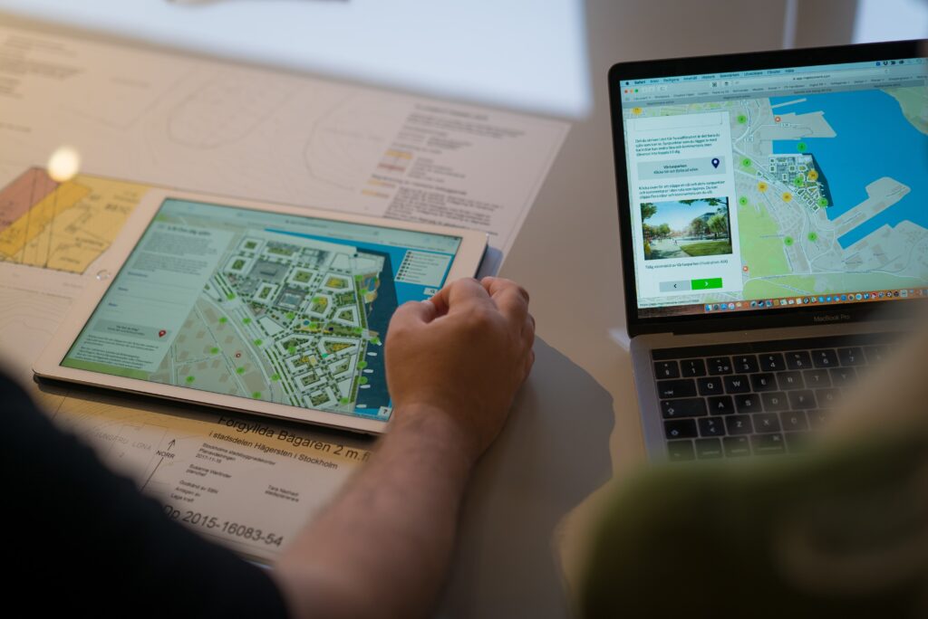
An example of a map-based engagement survey done with Maptionnaire. You can try it out yourself here!
Broader reach at everyone’s convenience
The world is digital, and no doubt that with online consultation tools, planners reach more and more diverse groups. With Maptionnaire, residents can take an engagement survey from any device whenever and wherever they want.
It’s possible to make the same questionnaire available in several languages to appeal to multicultural communities, while visuals and gamification elements make the whole process more enticing. Of course, a lot of work should go into marketing a questionnaire, but the platform gives all the possibilities for planners to engage more people.
Actionable data linking spaces with experiences and ideas
What’s your favorite cycling route? Which places don’t feel safe enough? What would you change in the proposal draft? These are the questions that are often asked during a public consultation, and the common denominator is space, of course.
But before Maptionnaire, spatial data was not used in public consultations. The results of citizen engagement are often simply drawings on a board, a mass of post-it notes, or phone call transcripts. In other words, the public input is unstructured and hard to transfer into what planners actually use, namely geolocated data.
In Maptionnaire, every answer to a map-based survey receives a spatial component since residents leave their comments on an area map, a plan, or even a 3D model bound to geographic coordinates. This data is ready to be analyzed and integrated into other planning tools and is easy to use for visualizations and reports.

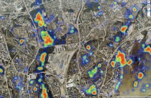
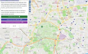
Geolocated citizen engagement data (right) is more manageable and actionable than unstructured responses collected manually (left). Maptionnaire makes it easier for planners to use the public consultation results, thus increasing effectiveness of the whole planning process.
Citizens becoming experts in their environment
Technology cannot change the attitude of planners towards local knowledge overnight, but a shift is certainly happening. More planners want to engage with residents already early in the planning process, especially when they can get valuable data and important local perspectives.
At the same time, citizens get accustomed to the culture of sharing their opinions and exercising power over decision-making around city planning. This is especially true when a holistic citizen engagement program is carried out on a city level, even beyond an urban planning domain. The Finnish city of Vantaa is a great example of such an approach to public participation implemented with Maptionnaire.
Overall, the biggest impact of citizen engagement is on redefining the human relationship with the built environment. The spaces around us don’t just happen to be there because of someone’s anonymous will. Residents recognize that public spaces should reflect their needs, experiences, and ideas. And Maptionnaire is proud to be one of the mechanisms in the hands of both planners and citizens that helps return people’s voices onto the public square.

More Stories
San Francisco Shared Spaces Sustainability Strategy
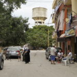
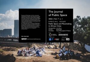
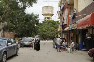
Gender inequalities in Beirut’s public spaces
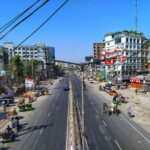
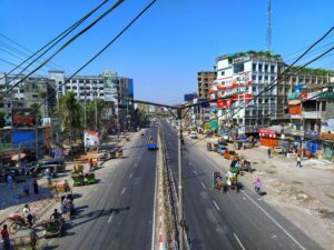
Guidelines for Climate-Resilient, Gender-Responsive, and Socially Inclusive Public Open Spaces in Bangladesh